
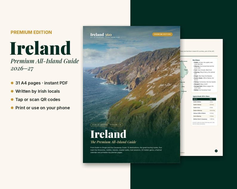
See the whole island like a local. From Dublin to Dingle and the Causeway Coast, this 31-page premium guide from the team behind Ireland 360 and Dublin 360 helps you choose where to go, how long to stay and what's worth a detour. Updated for 2026-27.
What's Inside
- Map of Ireland with the best bases and drive times
- Ireland vs Northern Ireland: currency, speed limits, entry rules and more
- Getting around by car, train, bus, ferry and day tour
- When to go, plus a month-by-month festival calendar
- The great touring routes: Wild Atlantic Way, Ireland's Ancient East, Causeway Coast, Hidden Heartlands
- 12 destinations with must-sees, pubs and local tips
- Road-trip itineraries for 5, 7, 10 and 14 days
- 14 themed guides: castles, ancient Ireland, islands, coastal walks, cycling, surfing, trad sessions, historic pubs, food and drink, families, rainy days, Game of Thrones and more
- 24 hidden gems, county by county
- Budgets, practical info, slang and Irish place names decoded
- Printable packing list and route planner
How It Works
- Instant PDF download, A4 size
- Tap or scan the QR codes to open maps, tours and more on ireland360.ie
- Print it, or keep it on your phone and tablet
Good To Know
- This is a digital file. Nothing will be posted to you.
- Information was checked in October 2026 and can change.
- For personal use only. Please don't share or resell.